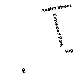
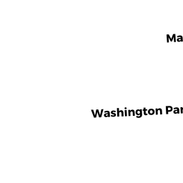
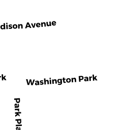
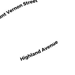
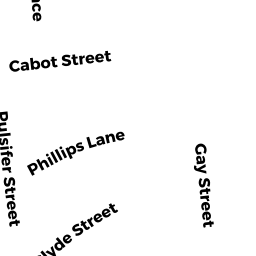
72-78 HIGHLAND AVE 74
Owner Information
HOUGLET MARYANN R
74 HIGHLAND AVE UN 74
NEWTONVILLE, MA 02460


Property Details
72-78 HIGHLAND AVE 74 is classified as a Residential Condominium (End townhouse).
The primary structure on this property was built in 1999. There are 3,897ft2 of built area within this property. There is 2,772ft2 of residential/living space within this property. This property is listed as having 8 rooms.
72-78 HIGHLAND AVE 74 is valued at $1,159,700. The land is valued at $0 and the structures are valued at $1,159,700.
This property is in Zone MR1. Confirm with local Zoning Board authorities to ensure there are no overlays or other easements on this property.
The most recent deed for 72-78 HIGHLAND AVE 74 is recorded at the local registrar in Book 30775, Page 290. 72-78 HIGHLAND AVE 74 was last sold on Friday, October 1, 1999 for $590,000.
Assessment data from fiscal year 2022.
Flood Data
According to the FEMA National Flood Hazard Layer, this property does not appear to be in a flood zone. It may also be in an area not yet reviewed. Nonetheless, confirm this information prior to taking any action.
To view the flood hazards around this property, create a FEMA "Firmette" Map of the area around 72-78 HIGHLAND AVE 74.
Broadband Internet Providers
| Provider | Type | Bandwidth (mbps) | |
|---|---|---|---|
| Viasat Inc | Satellite | 100 | 3 |
| Comcast | Cable | 1000 | 35 |
| RCN | Cable | 500 | 20 |
| VSAT Systems, LLC. | Satellite | 2 | 1 |
| HughesNet | Satellite | 25 | 3 |
| GCI Communication Corp. | Satellite | 0 | 0 |
| T-Mobile | Fixed Wireless | 25 | 3 |
| Verizon New England Inc. | DSL | 10 | 1 |
| Verizon New England Inc. | Fiber | 940 | 880 |
| RCN | Cable | 1000 | 20 |
Broadband service provider data from December 2020.
Adjacent Properties
- 256 LOWELL AVE
Single Family Residential owned by FRIEDFERTIG ARNOLD M - 80 HIGHLAND AVE
Single Family Residential owned by GROSS JAMES C & KIKI BOGORAD - 66-68 HIGHLAND AVE
Other, Open Space owned by 66-68 HIGHLAND AVE MASTER DEED - 66 HIGHLAND AVE 66
Residential Condominium owned by KAHN DONNALYN B LYNCH - 68 HIGHLAND AVE 68
Residential Condominium owned by LIETZKE KEITH R & BARBARA C - 23 OTIS PL
Single Family Residential owned by JACOBS SHARON - 258 LOWELL AVE
Single Family Residential owned by SHERMAN RICHARD C